Scenic USA - New Jersey
Scenic USA offers a collection of select photographs from a wide variety of attractions, points of interest, historic sites, state parks and
national parks found throughout the United States. Each photo feature is coupled with a brief explanation.
For further detailed information, links to other related sites are provided.
Sandy Hook
| Photos by Ben Prepelka |
|
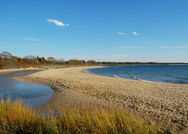
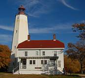
Capping off a 130 mile New Jersey shoreline, Sandy Hook stretches out six and a half miles from the mainland. This fragile barrier island began as a small shoal, extending out from Long Branch. Wave action along the Jersey coast produces a northward longshore current, carrying tons of sand every day. Over several millennia these currents and littoral drift lengthened Sandy Hook into today's barrier island. When the Sandy Hook Lighthouse was completed in 1764, it was 500 feet from the tip of the hook. Today, the lighthouse is a mile and a half from the ever growing northern end of Sandy Hook.
|
Copyright ©2010 Benjamin Prepelka
All Rights Reserved