Scenic USA - Wisconsin
Each day Scenic USA presents a different and interesting photo feature from somewhere in
the United States. Chosen from a wide variety of historic sites, city scenes, backcountry
byways, points of interest and America's best parklands, this site offers the viewer hundreds
of unique vacation destinations and photographic subjects. Each feature is coupled with a
brief explanation. For further detailed information, links to other sites are provided, however
these links should not be considered an endorsement.

Ice Age Trail
Points of Interest
Cross Plains Meltwater Channel
At no extra cost to you, using this link helps support Scenic USA when you shop on-line at Amazon
Ice Age Trail
| Photos by Ben Prepelka |
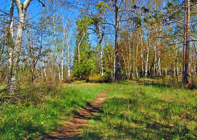
A mere 15,000 years ago in geological time, Canada and northern United States 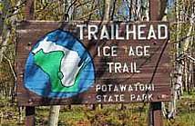 lay under an enormous sheet of ice. Glacial effects are seen across New England, New York's Finger Lakes and the Great Lakes Region, but nowhere are they more impressive than in Wisconsin. Here, the most recent glacial activities ceased about 10,000 years ago.
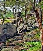
At one time glacial ice covered nearly two-thirds of Wisconsin, prompting the late Ray Zillmer to propose an Ice Age Glacier National Forest Park in 1950. An avid hiker, Zillmer visualized a trail, such as the Appalachian Trail, so visitors could explore Wisconsin's glacial landscape. Although the Ice Age Park and Trail Foundation was set up in 1958, only short sections of the trail were in place by the mid 1970s. Designated as a National Scenic Trail in 1980, the National Parks Service began working in conjunction with the Wisconsin Department of Natural Resources to develop and maintain more segments of the trail.
Just north of Green Bay in Door County, the eastern terminus of the Ice Age National Scenic Trail 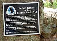 is located in Potawatomi State Park. Here the trail follows former shorelines of Lake Michigan and the crest of eskers. After passing the bog country of Manitowoc County, the trail continues over the rolling hills of the Kettle Moraine for more than 100 miles. Although far from complete, segments of the proposed 1200 mile trail meander throughout the state and end at the Minnesota border. Here, the trail winds through Wisconsin's Dairy Country, terminating at the Interstate State Park Ice Age Reserve Unit at the Dallas of the St Croix River.
Trail Map and Conditions
Copyright © 2011-14 Benjamin Prepelka
All Rights Reserved